Mandurah’s coastline has never just been about waves. What happens out the back is tied directly to what’s happening inland — and a few big changes over the years have reshaped both.
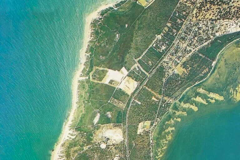
For most of its history, Mandurah sat alongside a natural estuary system that quietly helped control how sand moved along the coast. Rivers, tides, dunes, and swell worked together, feeding beaches and forming the sandbanks that made many of the local breaks work the way people remember.
That balance started to shift as the area grew.
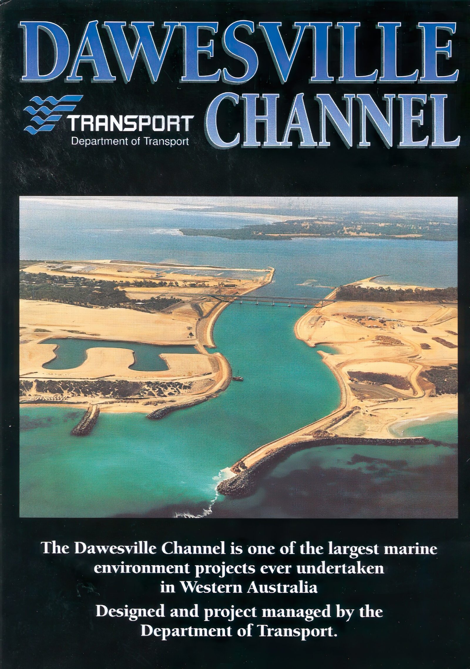
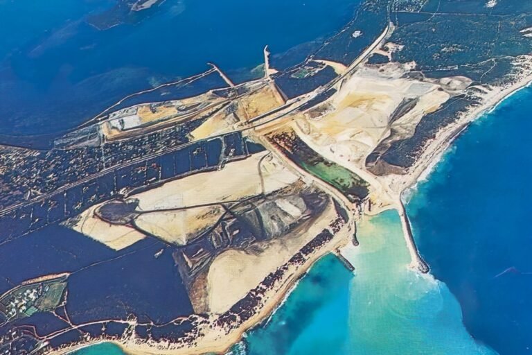
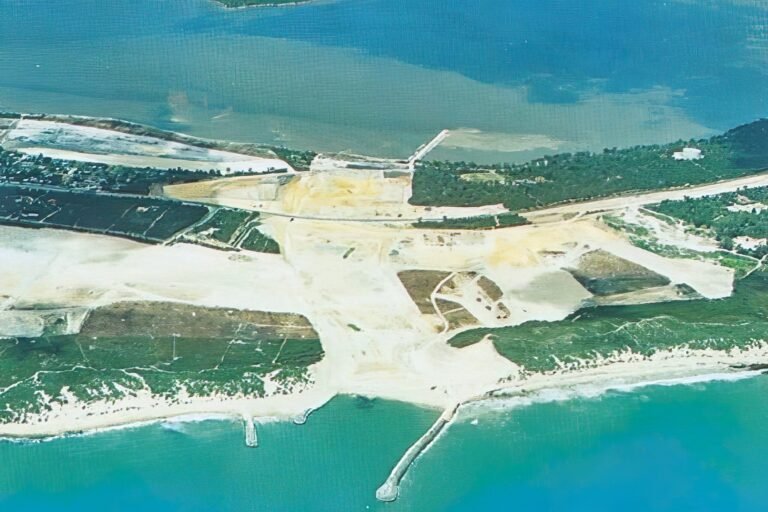
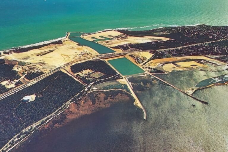
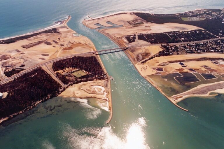
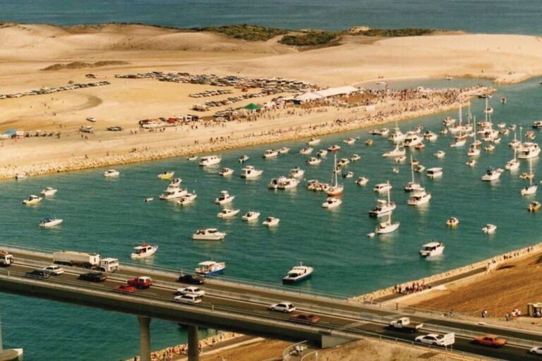
In the mid-90s, the Cut was opened to connect the estuary directly to the ocean. Its purpose was to improve water quality, and in that sense it worked. But opening that channel also changed how sand travels along the coast. What once moved slowly and predictably now had a new path.
At the same time, sand dunes were removed and development pushed closer to the shoreline. Roads, housing, and coastal infrastructure replaced natural buffers that had helped regulate sand flow for generations.
The result wasn’t immediate, but it was lasting.
Sand that once built and maintained banks at certain breaks began ending up elsewhere. Some spots became starved, others buried. Waves that used to line up stopped behaving the same way — or stopped working altogether.
These weren’t small environmental shifts. They changed how, where, and sometimes if people could surf. And for those who grew up here, the difference is obvious.
Understanding these changes isn’t about pointing blame. It’s about recognising that the surf we see today is the outcome of decisions made over time — and that the coastline, like the culture around it, is shaped by more than just swell.